New York City, connected.
KnoEdg.NYC brings together information about New York City from publicly available sources—connecting its places, people, organizations, events and systems so they are easier to explore.
KnoEdg.NYC is in early development. New subjects, connections and ways to explore them will be introduced progressively.
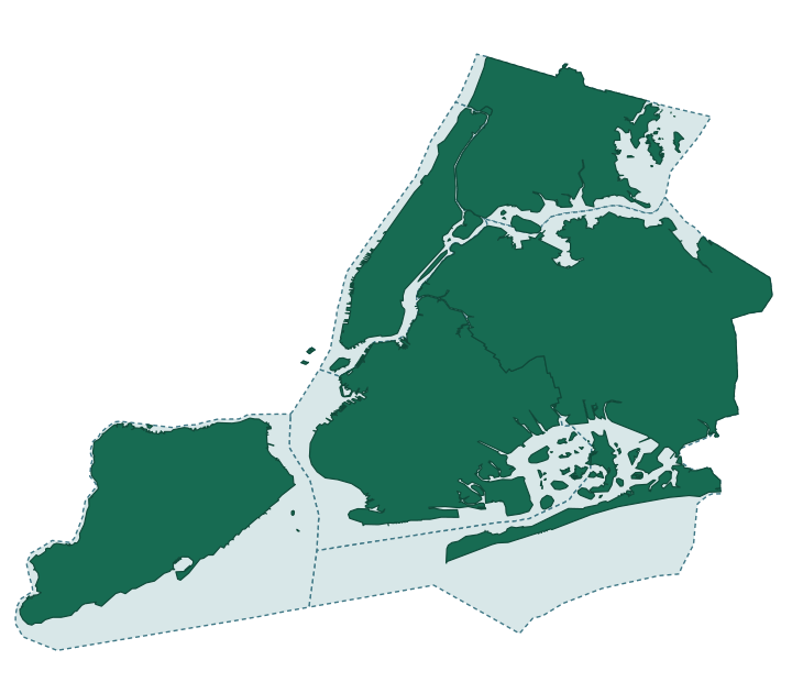
Explore NYC Boundaries
Explore
NYC Boundaries
Where the city’s borough and county lines sit, compared across the publishers who draw them — and where they disagree.
Inside the Map of 30 Immigrant Enclaves
A 30-entry map of immigrant enclaves: who published it, what it lists, how it compares with an earlier city series, and what remains unestablished. Accompanied by a data paper, The NYC Immigrant Enclaves map.