NYC Boundaries
New York City does not have just one useful boundary map. Different publishers draw or describe the same five boroughs differently depending on whether the question is about shoreline, surrounding water, counties, administrative relations or gazetteer identity.
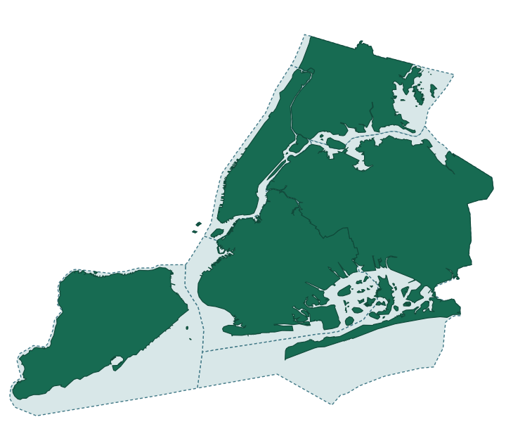
One city, several valid boundaries
A boundary depends on the question being asked. The Department of City Planning publishes both water-excluded shoreline geometry and water-included geometry. The Census Bureau publishes county land and water measurements. OpenStreetMap represents each borough and its corresponding county as separate administrative relations, even where they refer to the same real-world extent. geoBoundaries republishes generalized, shoreline-clipped Census-derived county geometry; Overture Maps integrates the exact OpenStreetMap relation versions already governed here while adding stable division and area identifiers. Who's On First adds stable gazetteer identifiers, hierarchy and concordances for the five counties; its default county geometry is a Census-sourced Quattroshapes derivative.
These are not interchangeable records. This view keeps the source, method, administrative framing and review assessment attached to each claim.
What the sources show
The two independent, directly comparable land-area series are within 1.25% for every borough/county pair; this is treated as ordinary cross-source measurement variance, not a contradiction.
Other representations can still be useful without counting as independent corroboration. The technical collection keeps each source's method, provenance relationship and review assessment attached to the record.
Explore the data
For exact measurements, confidence and lifecycle values, provenance clusters, source timestamps and machine-readable records, see NYC Boundaries — Technical Data.
The technical collection links onward to the first-class source pages for NYC Department of City Planning, the U.S. Census Bureau, OpenStreetMap, geoBoundaries, Overture Maps and Who's On First.